
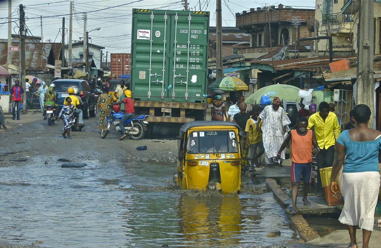
Flood Season Is Here. Here’s How to Stay Safe. Rainy season has returned, and with it, one of the most familiar challenges facing communities across Nigeria: flooding. Heavy rainfall itself is nothing new. What determines how much damage it causes often comes down to planning, infrastructure, environmental management, and how prepared people are before the […]
- Home
- About Us
- Services
- Information and Communication Technology
- Geospatial Survey
- Water Resources Management
- Climate and Disaster Management
- Socio-Economic Studies
- Baseline Survey
- Household Survey
- Socio-Economic Impact Assessment (SEIA)
- Community Need Assessment
- Resettlement and Livelihood Studies
- Community Development Planning
- Livelihood Assessment
- Poverty and Vulnerability Assessment
- Demographic Studies
- Stakeholder and Community Consultations
- Social Impact Assessment
- Data Collection and Statistical Analysis
- Monitoring and Evaluation
- Capacity Building
- Procurement and Supply Chain Management
- Products
- Partners
- Projects
- Careers
- Contact
- Home
- About Us
- Services
- Information and Communication Technology
- Geospatial Survey
- Water Resources Management
- Climate and Disaster Management
- Socio-Economic Studies
- Baseline Survey
- Household Survey
- Socio-Economic Impact Assessment (SEIA)
- Community Need Assessment
- Resettlement and Livelihood Studies
- Community Development Planning
- Livelihood Assessment
- Poverty and Vulnerability Assessment
- Demographic Studies
- Stakeholder and Community Consultations
- Social Impact Assessment
- Data Collection and Statistical Analysis
- Monitoring and Evaluation
- Capacity Building
- Procurement and Supply Chain Management
- Products
- Partners
- Projects
- Careers
- Contact
Archive for the ‘GIS Technology’ Category
Flood Preparedness Starts With You
GIS Technology Precision Mapping _ November 6, 2024_ admin_ 0 Comments GIS Mapping for Efficient Water Supply & Sewerage Networks Water, the lifeblood of communities, demands careful and efficient management to ensure a sustainable supply and effective wastewater handling. In this era of advanced technology, Geographic Information System (GIS) mapping has emerged as an invaluable tool for enhancing the planning, monitoring, […]
Cultivating Tomorrow with Precision Farming Powered by GIS & Remote Sensing In the dynamic realm of agriculture, Geospatial Research Limited stands as a visionary geospatial consultant, pioneering the application of Geographic Information System (GIS) and Remote Sensing technologies. By doing so, it is ushering in a new era of Precision Farming. This innovative approach is not only redefining how […]
Unlocking the Potential of Land Information Systems with GIS Land, with its diverse uses and complexities, is a valuable resource that demands effective management and informed decision-making. In the modern era, Geographic Information System (GIS) technology has emerged as a transformative tool, allowing for the creation, analysis, and visualization of land-related data. As a result, this has […]
Recent Comments
LATEST POSTS
Contact
» 2, Wemi Akinsola Close, Allen Avenue, Ikeja, Lagos State
» info@geospatial.ng, georeslimited@gmail.com
» +234-903-6065-544; +234-901-2925-909


