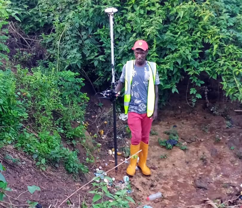

Flood Season Is Here. Here’s How to Stay Safe. Rainy season has returned, and with it, one of the most familiar challenges facing communities across Nigeria: flooding. Heavy rainfall itself is nothing new. What determines how much damage it causes often comes down to planning, infrastructure, environmental management, and how prepared people are before the […]
Blog Masonry
Showcase your stories with Hazel
Why Geospatial Research Limited Leads the Way in Nigeria Lagos, Nigeria’s commercial and technological hub, is home to several Geographic Information System (GIS) companies that provide invaluable geospatial services for a wide range of industries, including urban planning, environmental management, infrastructure development, agriculture, and oil and gas. However, among these companies, Geospatial Research Ltd truly […]
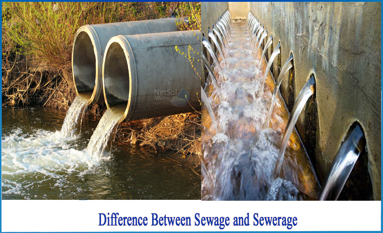
GIS Technology Precision Mapping _ November 6, 2024_ admin_ 0 Comments GIS Mapping for Efficient Water Supply & Sewerage Networks Water, the lifeblood of communities, demands careful and efficient management to ensure a sustainable supply and effective wastewater handling. In this era of advanced technology, Geographic Information System (GIS) mapping has emerged as an invaluable tool for enhancing the planning, monitoring, […]
Cultivating Tomorrow with Precision Farming Powered by GIS & Remote Sensing In the dynamic realm of agriculture, Geospatial Research Limited stands as a visionary geospatial consultant, pioneering the application of Geographic Information System (GIS) and Remote Sensing technologies. By doing so, it is ushering in a new era of Precision Farming. This innovative approach is not only redefining how […]
Importance of Land Survey The importance of land surveys extends beyond basic boundary identification, offering critical insights and legal clarity that are essential for property ownership and development. Here’s how land surveys play a pivotal role: Boundary Identification: Surveys accurately define property boundaries, helping prevent disputes with neighbors and ensuring you know the exact […]
Unlocking the Potential of Land Information Systems with GIS Land, with its diverse uses and complexities, is a valuable resource that demands effective management and informed decision-making. In the modern era, Geographic Information System (GIS) technology has emerged as a transformative tool, allowing for the creation, analysis, and visualization of land-related data. As a result, this has […]