
Why Geospatial Research Limited Leads the Way in Nigeria Lagos, Nigeria’s commercial and technological hub, is home to several Geographic Information System (GIS) companies that provide invaluable geospatial services for a wide range of industries, including urban planning, environmental management, infrastructure development, agriculture, and oil and gas. However, among these companies, Geospatial Research Ltd truly […]

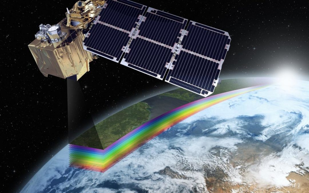
In our dynamic world, where land use patterns constantly change, understanding how land is utilized drives sustainable development, environmental conservation, and urban planning. Geospatial Research Ltd harnesses remote sensing technology, a revolutionary tool that offers a bird’s-eye view of the Earth, delivering invaluable insights for land use mapping and analysis. Remote Sensing: The Aerial Observer Remote sensing [...]

November 6, 2024

GIS Mapping, Precision Mapping

GIS Technology Precision Mapping _ November 6, 2024_ admin_ 0 Comments GIS Mapping for Efficient Water Supply & Sewerage Networks Water, the lifeblood of communities, demands careful and efficient management to ensure a sustainable supply and effective wastewater handling. In this era of advanced technology, Geographic Information System (GIS) mapping has emerged as an invaluable tool for enhancing the planning, monitoring, […]

November 5, 2024

GIS Technology, Precision Mapping

Cultivating Tomorrow with Precision Farming Powered by GIS & Remote Sensing In the dynamic realm of agriculture, Geospatial Research Limited stands as a visionary geospatial consultant, pioneering the application of Geographic Information System (GIS) and Remote Sensing technologies. By doing so, it is ushering in a new era of Precision Farming. This innovative approach is not only redefining how […]

Unlocking the Potential of Land Information Systems with GIS Land, with its diverse uses and complexities, is a valuable resource that demands effective management and informed decision-making. In the modern era, Geographic Information System (GIS) technology has emerged as a transformative tool, allowing for the creation, analysis, and visualization of land-related data. As a result, this has […]