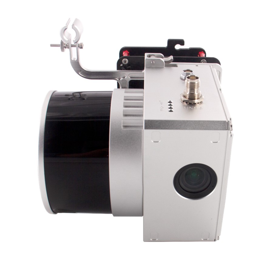
Decoding the Perfect LiDAR Solution: A Comprehensive Guide

Factors Influencing LiDAR Solution Selection:
- Survey Size: For large surveys, opt for LiDAR models with extended range capabilities to efficiently cover expansive areas.
- Terrain Complexity: Diverse terrain requires adaptable systems capable of penetrating dense vegetation or capturing details in urban environments.
- Flying Parameters: Field of view (FOV) and flying height dictate the resolution and coverage of collected data. Matching these parameters with project requirements ensures data alignment.
Precision and Accuracy Tailoring:
- Precision is project-specific, influencing the choice of LiDAR system based on range, pulse rate, and scan frequency.
- High-precision systems suit tasks demanding intricate details, while projects with broader survey requirements may prioritize systems with lower accuracy but higher range.
Understanding Point Density:
- Point density, the number of LiDAR measurements per unit area, profoundly impacts data quality.
- Higher point density is crucial for industries like forestry analysis, power line inspections, and topographic mapping.
Assessing LiDAR Compatibility:
- Seamless integration with drone platforms is essential for optimal performance.
- Evaluate payload capacity, power requirements, and ease of integration with chosen drones.
- Consider compatibility with both hardware and software for a unified workflow.
Training and Support for Seamless Integration:
- Basic understanding of LiDAR principles, data interpretation, and nuances is essential. Online courses, workshops, and seminars provide valuable insights.
- Guided training sessions offered by manufacturers cover hardware setup, sensor calibration, data collection, and post-processing.
- Ongoing support from manufacturers and industry experts ensures assistance in real-world problem-solving.
LiDAR for Drone Cost Analysis:
- Technical specifications such as range, accuracy, and point density influence the price of LiDAR systems.
- Higher-performance systems come at a premium due to advanced features and precision.
- Investment decisions should balance precision needs with budget constraints, considering long-term benefits and return on investment.
Holistic Impact on Project Efficiency and Profitability:
- LiDAR-equipped drones streamline workflows, reduce labor costs, and enhance data quality, translating into substantial returns over time.
- Understanding the intricate interplay between investment and benefits shapes decisions that optimize budgets and fuel innovation.
Conclusion:
By carefully considering survey size, terrain characteristics, precision requirements, point density needs, compatibility factors, and cost considerations, you can confidently choose the LiDAR solution that aligns with your project objectives. This informed decision-making process ensures efficiency, accuracy, and profitability in your projects, fostering continuous growth and innovation.
Geospatial Research Ltd is a pioneering LiDAR and Drone services company based in Nigeria, at the forefront of leveraging cutting-edge technologies to provide innovative geospatial solutions. Founded with a vision to redefine surveying and mapping in Nigeria, the company specializes in the deployment of LiDAR and drone technology for a wide range of applications. With a dedicated team of experts, Geospatial Research Ltd combines expertise in geospatial sciences with a deep understanding of LiDAR and drone technologies. The company excels in delivering high-precision data collection services, utilizing LiDAR and drone platforms to capture detailed and accurate information for various industries.
Geospatial Research Ltd’s services include LiDAR data acquisition, drone-based aerial surveys, 3D modeling, and geospatial analytics. The company is committed to providing comprehensive solutions for topographic mapping, infrastructure development, environmental monitoring, and land management. Recognizing the transformative potential of LiDAR and drone technologies, Geospatial Research Ltd places a strong emphasis on research and development, staying abreast of the latest advancements to continually enhance its service offerings. The company’s commitment to quality, efficiency, and client satisfaction has positioned it as a trusted partner for projects requiring precise geospatial data in Nigeria.
Geospatial Research Ltd is dedicated to contributing to the modernization of surveying practices in Nigeria, embracing the power of LiDAR and drone technology to deliver accurate, timely, and cost-effective solutions for its diverse clientele.
Author


