Over 10 years we help companies reach their financial and branding goals. Engitech is a values-driven technology agency dedicated.

Gallery

Contacts

411 University St, Seattle, USA

engitech@oceanthemes.net

+1 -800-456-478-23

GIS-image

Geospatial Research Ltd offers comprehensive Geographical Information System (GIS) and Cartography Consultancy services, helping organizations effectively leverage location-based insights for better planning, analysis, and decision-making. As a recognized leader in geospatial services, we excel in integrating GIS technology with expert cartography, ultimately providing customized solutions tailored to meet the unique needs of each client.

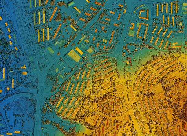
Our GIS and Cartography Services

  • GIS Data Collection and Management: To begin with, we assist clients in gathering, organizing, and managing geospatial data. Using advanced data collection tools and techniques, we ensure data accuracy and relevance, thus providing a reliable foundation for analysis.
  • Custom Map Design and Visualization: Furthermore, our cartography team excels in creating clear, aesthetically appealing, and detailed maps to meet specific project requirements. By visualizing spatial data with precision, we offer clients valuable insights into terrain, infrastructure, and resources.
  • Spatial Analysis and Modeling: Additionally, we perform complex spatial analysis, examining patterns, relationships, and trends to support critical decisions. Our modeling capabilities help clients assess project impacts, optimize resource allocation, and predict future scenarios with confidence.
  • Land Use and Land Cover Mapping: By integrating GIS with our cartographic expertise, we produce detailed land use and land cover maps. These maps are essential for a variety of applications, including urban planning, environmental conservation, and resource management, making them a vital tool for sustainable development.
  • Geospatial Data Integration: Moreover, we specialize in integrating diverse data sources, such as satellite imagery, drone footage, and historical maps, into a unified GIS framework. This comprehensive approach enables detailed analysis and helps clients develop more informed and effective strategies.
  • Location Intelligence for Business: Lastly, we use GIS to support clients in industries like retail, logistics, and real estate by providing location intelligence. This empowers businesses to identify optimal sites, streamline operations, and better understand demographic patterns for improved decision-making.

Why Choose Geospatial Research Ltd for GIS and Cartography?

At Geospatial Research Ltd, we combine the latest advancements in geospatial technology with in-depth industry expertise. As a result, our GIS and cartography consultancy services are uniquely positioned to address the specific goals and challenges of our clients. From infrastructure planning to environmental protection, we work closely with each client to develop customized solutions that drive success.

By choosing us, organizations gain access to the tools and insights needed to overcome challenges, make data-driven decisions, and achieve outstanding project outcomes. Ultimately, our GIS and cartography consultancy empowers clients to navigate complex scenarios with clarity and confidence, ensuring their long-term success.