Cultivating Tomorrow with Precision Farming Powered by GIS & Remote Sensing
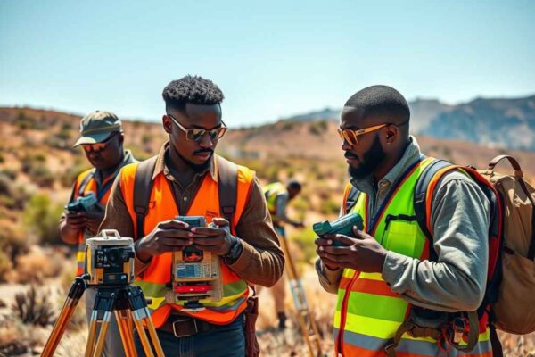
In the dynamic realm of agriculture, Geospatial Research Limited stands as a visionary geospatial consultant, pioneering the application of Geographic Information System (GIS) and Remote Sensing technologies. By doing so, it is ushering in a new era of Precision Farming. This innovative approach is not only redefining how farmers interact with their fields but also fostering sustainable practices and ensuring a more efficient and productive agricultural landscape.
Precision Farming Unleashed
Precision Farming, also known as precision agriculture, marks a paradigm shift in how farmers manage their operations. It involves the integration of advanced technologies to tailor farming practices based on real-time data and site-specific conditions. Furthermore, Geospatial Research LTD recognizes the transformative potential of GIS and Remote Sensing in this context. By leveraging these technologies, the company empowers farmers with the precision, efficiency, and sustainability necessary for modern agricultural success.
GIS Mapping: Blueprint for Precision Agriculture
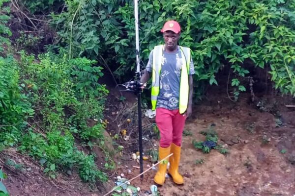
Site-Specific Decision Making: GIS mapping serves as the foundation for Precision Farming, allowing farmers to make informed, site-specific decisions. By incorporating data on soil characteristics, topography, and historical crop performance, GIS generates detailed maps that guide precision practices, from seeding to nutrient management.
Variable Rate Technology (VRT): At the heart of Precision Farming lies VRT, a technology that optimizes resource use by varying the application rates of inputs like seeds, fertilizers, and pesticides across a field. GIS-generated prescription maps are the driving force behind VRT, ensuring that resources are applied where they are needed most.
Crop Monitoring and Health Assessment: GIS facilitates real-time monitoring of crops using satellite and drone imagery. Integrated with Remote Sensing data, GIS enables the assessment of crop health, detection of pests or diseases, and timely interventions. This proactive approach minimizes losses and maximizes yields, contributing to sustainable farming practices.

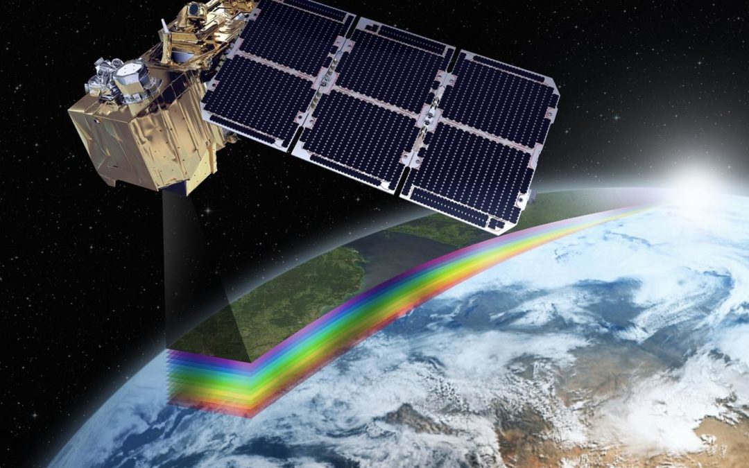
Remote Sensing: The Eyes in the Sky for Precision Agriculture
High-Resolution Imagery: First and foremost, Remote Sensing provides farmers with high-resolution imagery that captures details beyond the capabilities of the human eye. This imagery, in turn, aids in identifying variations in crop health, moisture levels, and nutrient distribution, offering critical insights for farm management.
Normalized Difference Vegetation Index (NDVI): Additionally, NDVI, derived from Remote Sensing data, serves as a crucial indicator of plant health. GIS processes this index to create maps that highlight areas of the field requiring attention. As a result, farmers can make informed decisions regarding the precision application of inputs, ultimately improving efficiency.
Drones for Precision Monitoring: Furthermore, drones equipped with specialized sensors capture high-resolution imagery at a finer scale. This capability enables precise monitoring of small-scale variations within fields. Consequently, farmers can make localized decisions that target specific areas, optimizing overall farm performance.
Real-World Applications
For example, imagine a farm where every inch is optimized for both productivity and sustainability. GIS-generated prescription maps guide precision equipment, adjusting input application based on the unique needs of each section of the field. Meanwhile, drones equipped with Remote Sensing sensors provide real-time updates on crop health. As a result, the outcome is not only increased productivity but also a more sustainable and environmentally conscious approach to agriculture.
Challenges and Opportunities
However, despite the many benefits, Geospatial Research LTD recognizes that adopting Precision Farming with GIS and Remote Sensing comes with challenges, from initial investment costs to the need for farmer education. Nevertheless, these challenges also represent opportunities for innovation, collaboration, and a shared commitment to transforming agriculture for the better.
A Greener Tomorrow
As global populations continue to soar, the demand for sustainable and efficient agriculture has never been greater. Geospatial Research LTD, with its expertise in GIS and Remote Sensing, is at the forefront of this agricultural revolution. Moreover, the integration of these technologies is not just a technical application; it’s a promise of a greener, more sustainable tomorrow. In the hands of Geospatial Research LTD, Precision Farming becomes a beacon of hope—a promise of agriculture that nurtures the land, maximizes yields, and sustains future generations. Through precision and innovation, Geospatial Research LTD is cultivating a future where every seed sown contributes to a more resilient and sustainable world.