Home
About Us
Services
Information and Communication Technology
Software Development
IT Asset Management and Support
Hardware/Software Procurement and Installation
Geospatial Survey
Geographical Information System Consultancy
Remote Sensing
Land Surveying and Mapping
Drone Survey and Mapping
LiDAR Survey
3D Scanning
Geotechnical Information Survey
Environmental Studies
GeoAI
Integrated Spatial Information Solution
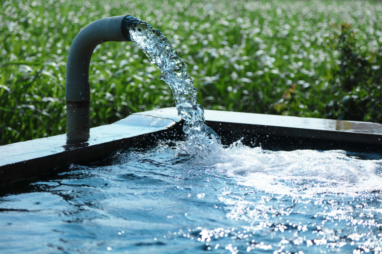
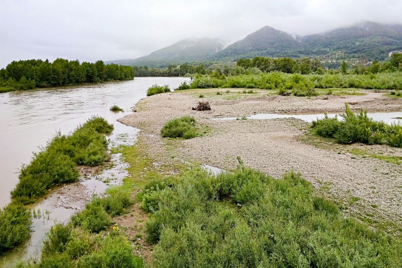
Water Resources Management
Hydrological Modelling
Hydroinformatics
River Basin Management & Planning
Water Allocation Planning
Integrated Water Resources Management (IWRM)
Erosion & Sedimentation
Water Resources Modelling
Water Quality
Ecohydrology
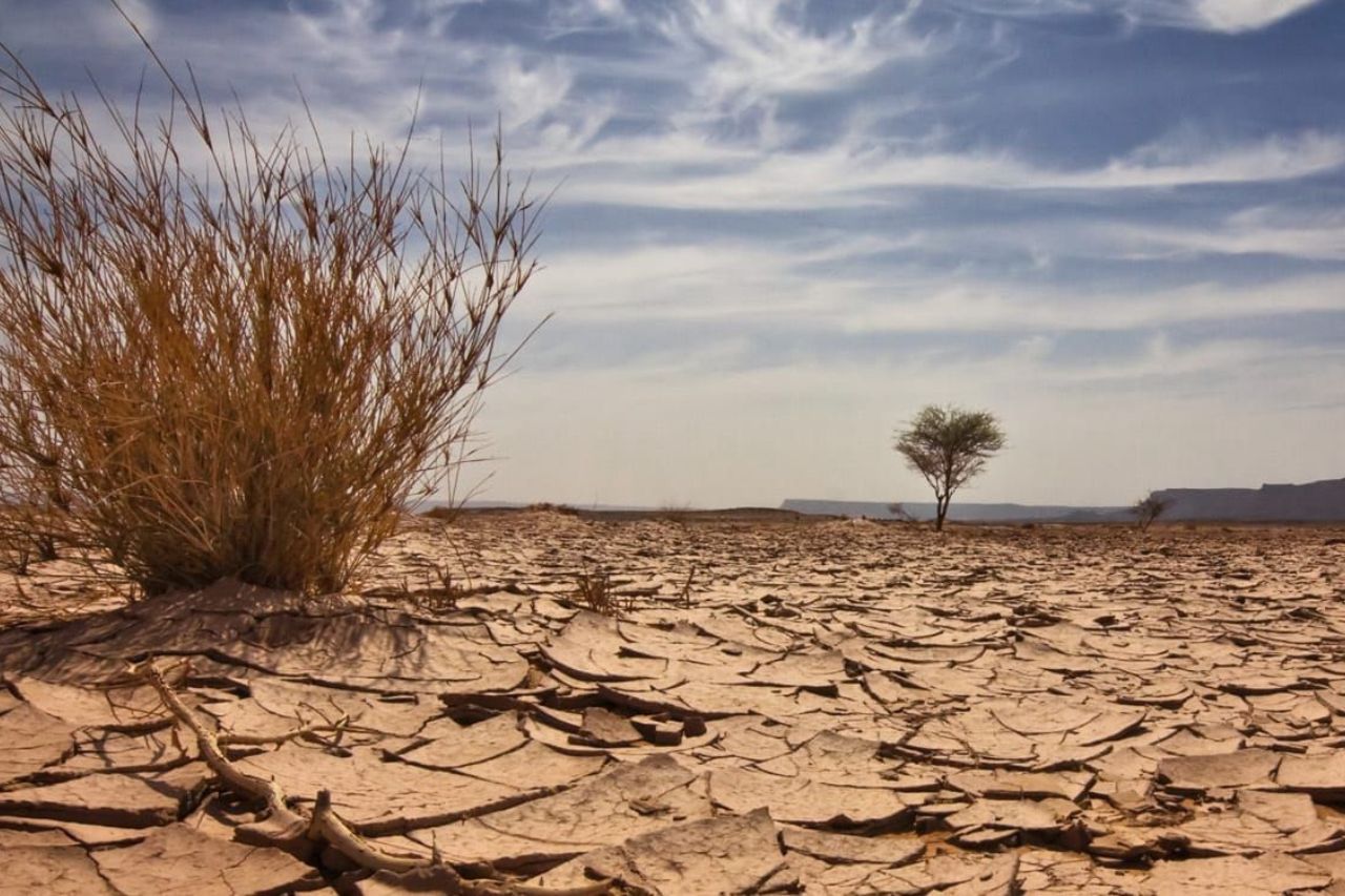
Climate and Disaster Management
Climate Risk Assessment
Climate Data Collection & Analysis
Climate Change Impact
Disaster Risk Management
Climate Change Mitigation and Adaptation
Disaster Preparedness Planning
Community-Based Disaster Risk Management (CBDRM)
Monitoring and Evaluation
Data Collection & Management
Result Base Monitoring
Evaluation
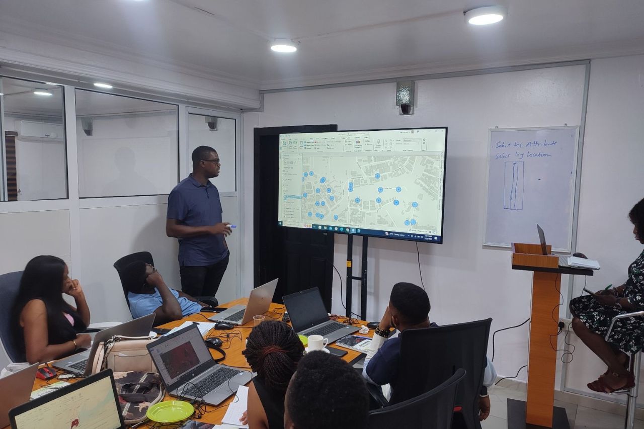
Capacity Building
Procurement and Supply Chain Management
Products
ESRI
ArcGIS Pro
ESRI Online
ESRI Enterprise
Asset Management Solution
Automated Auction Hub
Electronic Document Management System
Judiciary Docket Solution
Land Information and Management System
Warehouse Management System
Partners
Projects
Contact
Home
About Us
Services
Information and Communication Technology
Software Development
IT Asset Management and Support
Hardware/Software Procurement and Installation
Geospatial Survey
Geographical Information System Consultancy
Remote Sensing
Land Surveying and Mapping
Drone Survey and Mapping
LiDAR Survey
3D Scanning
Geotechnical Information Survey
Environmental Studies
GeoAI
Integrated Spatial Information Solution
Water Resources Management
Hydrological Modelling
Hydroinformatics
River Basin Management & Planning
Water Allocation Planning
Integrated Water Resources Management (IWRM)
Erosion & Sedimentation
Water Resources Modelling
Water Quality
Ecohydrology
Climate and Disaster Management
Climate Risk Assessment
Climate Data Collection & Analysis
Climate Change Impact
Disaster Risk Management
Climate Change Mitigation and Adaptation
Disaster Preparedness Planning
Community-Based Disaster Risk Management (CBDRM)
Monitoring and Evaluation
Data Collection & Management
Result Base Monitoring
Evaluation
Capacity Building
Procurement and Supply Chain Management
Products
ESRI
ArcGIS Pro
ESRI Online
ESRI Enterprise
Asset Management Solution
Automated Auction Hub
Electronic Document Management System
Judiciary Docket Solution
Land Information and Management System
Warehouse Management System
Partners
Projects
Contact
HIGH-QUALITY, INNOVATIVE GEOSPATIAL,
ICT AND INTEGRATED SOLUTIONS
YOUR AGENCY FOR
ABOUT US
CONTACT
or
OUR SERVICES
GEOSPATIAL SURVEY
ICT
WATER RESOURCE MANAGEMENT
CLIMATE AND DISASTER MANAGEMENT
MONITORING AND EVALUATION
CAPACITY BUILDING
View more
COMPANY COMPLIANCE DOCUMENTS
Certificate of Incorporation
Tax Clearance Certificate
ITF Certificate
BPP Certificate
NUPRC Permit
SCUML Certificate
Lagos State PPA Certificate
CPN License
DUNS certificate
PENCOM Certificate
NSITF Compliance Certificate
ISO 9001:2015 Certificate
NCEC Certificate
NITDA Certificate
Audited Account
NipeX Supplier Categorization Certificate.
Our Industry Expertise
Environment
Energy
Utility and Infrastructure
Telecommunication
Water Supply and Sanitation
Technology
QUALITY POLICY
CUSTOMER SATISFACTION
Consistently understanding and meeting the requirements of our customers
CONTINUAL IMPROVEMENT
Embracing a philosophy of continuous improvement in all our business-related
QUALITY OBJECTIVES
Establishing, implementing, and regularly reviewing measurable quality
AGENCY ACHIEVEMENTS
0
+
ACTIVE CLIENTS
0
+
PROJECTS DONE
0
+
GLORIOUS YEARS
OUR CLIENTS