In our dynamic world, where land use patterns constantly change, understanding how land is utilized drives sustainable development, environmental conservation, and urban planning. Geospatial Research Ltd harnesses remote sensing technology, a revolutionary tool that offers a bird’s-eye view of the Earth, delivering invaluable insights for land use mapping and analysis.
Remote Sensing: The Aerial Observer
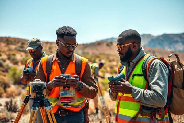
Remote sensing collects and interprets information about the Earth’s surface without direct physical contact. Satellites, aircraft, and drones equipped with advanced sensors capture data across the electromagnetic spectrum, allowing us to analyze and understand various land use patterns.
The Power of Land Use Mapping:
Comprehensive Spatial Data: Remote sensing technology captures high-resolution imagery, revealing more than what the human eye can detect. This imagery offers a wealth of data, showcasing diverse land features, vegetation types, and human-made structures.
Urban Planning and Development: City planners and developers rely on understanding urban land use. Remote sensing delivers detailed land use maps, outlining residential, commercial, industrial, and recreational zones. This information supports city layout optimization and infrastructure development.
Agricultural Monitoring: In agriculture, remote sensing transforms decision-making. It assesses crop health, land productivity, and identifies irrigation needs. Farmers make informed decisions based on timely, accurate data, optimizing crop yields and resource use.
Environmental Conservation: Remote sensing monitors natural ecosystems, empowering conservationists to track changes in land cover and spot areas at risk of degradation. This data is crucial for preserving biodiversity, managing wildlife habitats, and combating deforestation.
Disaster Response and Mitigation: After natural disasters, rapid, accurate information ensures effective response and mitigation. Remote sensing assesses damage, identifies vulnerable areas, and helps plan recovery efforts.

The Process of Land Use Mapping with Remote Sensing:
Data Acquisition:
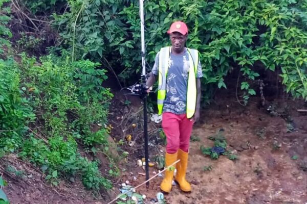
Satellite, aerial, or drone platforms equipped with sensors capture data across various spectral bands, including visible, infrared, and thermal wavelengths.
Image Processing:
Technicians process raw data using sophisticated methods to enhance clarity and extract valuable information. They correct distortions, remove atmospheric interference, and emphasize key features.
Classification and Analysis:
Analysts classify remote sensing data into different land cover types using image analysis techniques. This classification generates land use maps that illustrate the distribution of features across the landscape.
Integration with GIS:
To increase the utility of land use maps, remote sensing data integrates with Geographic Information System (GIS) technology. This process adds a spatial component, enabling deeper analysis and visualization.
Real-World Applications:
Consider a city grappling with rapid urbanization. Remote sensing technology captures images of the cityscape, distinguishing between residential, commercial, and green spaces. Urban planners use this data to identify areas for expansion, optimize transportation networks, and plan for sustainable growth.
Looking Forward: Advances in Remote Sensing for Land Use Mapping
As technology advances, the future of land use mapping through remote sensing holds even greater promise. High-resolution imagery, improved sensors, and the integration of artificial intelligence will enhance the accuracy and efficiency of land use assessments, giving us an even clearer view of our evolving planet.
Conclusion:
Remote sensing technology acts as a silent observer, unveiling the intricate tapestry of land use. From urban planning to environmental conservation, it provides far-reaching insights that empower decision-makers to navigate the complex dynamics of land utilization in our ever-changing world.